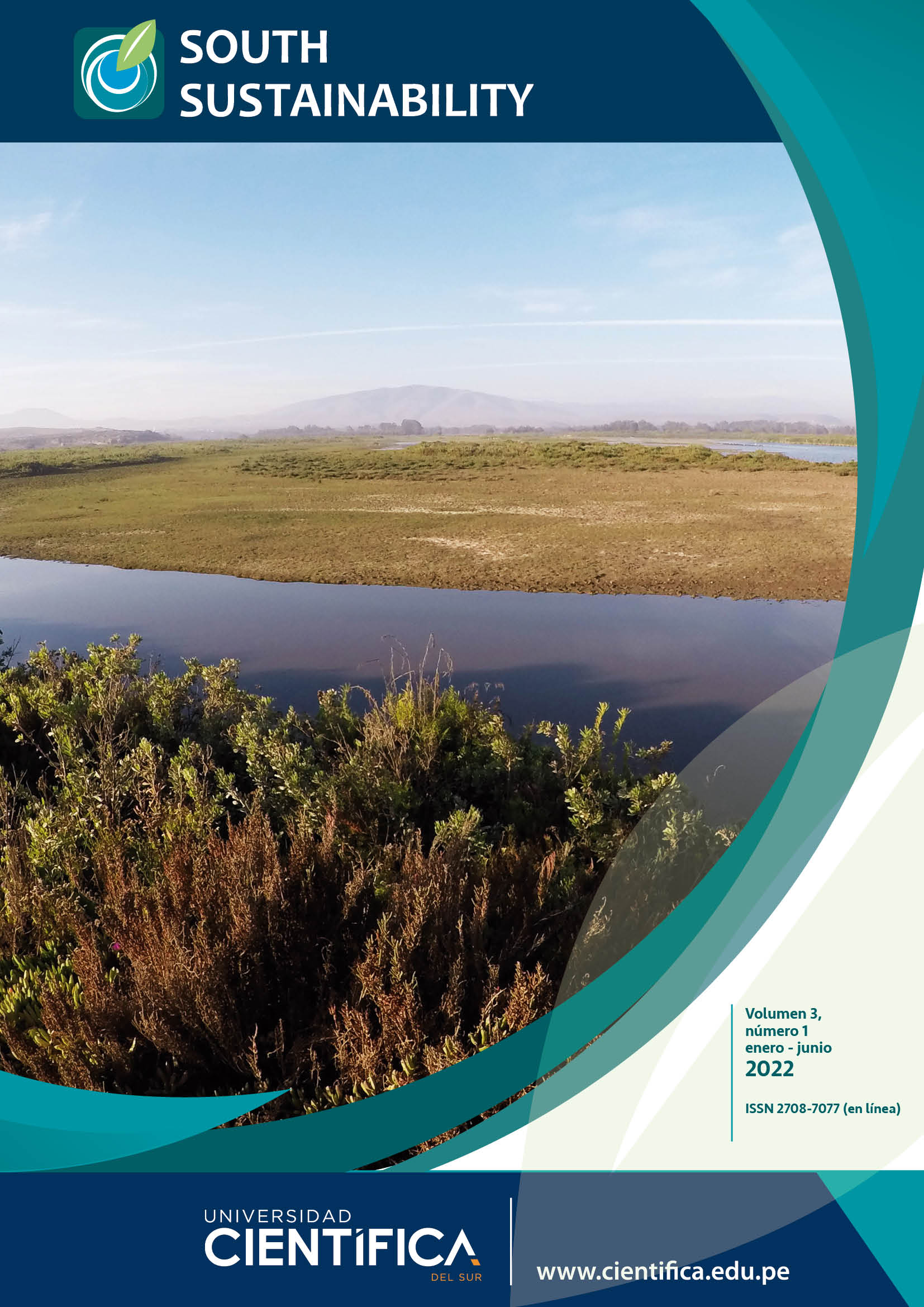
Multi-temporal evaluation of the surface of the Huacho-Hualmay-Carquín wetland, between the years 1986 and 2019
DOI:
https://doi.org/10.21142/SS-0301-2022-e053Keywords:
Land use, wetland, remote sensing, GIS, Huacho-Hualmay-Carquin, NDVIAbstract
In the province of Huaura there are several coastal wetlands, one of which is the Huacho-Hualmay-Carquín wetland, which is distributed across the districts that give it its name. This wetland, despite occupying a section of the coastal area of Huacho and being easily accessible, has been the subject of few studies of its biological characteristics and the changes experienced in its surface area over the years, and this motivated our interest in studying the latter aspect. The aim of this research was to evaluate the variation in the wetland’s surface area between the years 1986 and 2019, to which end satellite images from the Landsat 5 TM and Landsat 8 OLI sensors were used, after being subjected to initial pre-processing for subsequent analysis through application of the Normalized Difference Vegetation Index (NDVI), together with band composition analysis, and visual interpretation and fieldwork. In order to process all the information obtained, geographic information systems (GIS) were used. The results showed that the wetland had undergone a reduction in its surface area of 7.06 hectares, with an average annual rate of change (RC) of -1.06%. In addition, the results obtained were presented in accordance with the area’s political geography, demonstrating that the section corresponding to the district of Carquín had experienced a reduction of 1.07 hectares, with an average annual RC of -0.26, while the section of wetland corresponding to the district of Hualmay had experienced a reduction of 1.86 hectares, with an average annual RC of -0.70%, and the section of wetland in the district of Huacho had experienced a reduction of 4.14 hectares, with an average annual RC of -2.34%. Thus, relevant information was produced for the replication of this type of study in other coastal wetland systems, at different scales, in order to obtain an overall picture of the situation in which these ecosystems find themselves.


